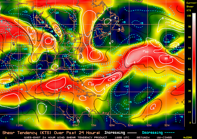
Well, that pesky upper-level trough of low pressure is still lingering over the northern Central Caribbean Islands. More gusty winds, lightning, and flash flooding with mudslides are likely in this region. Now Puerto Rico will also be getting some of this moisture moving over the island to aggravate the situation.
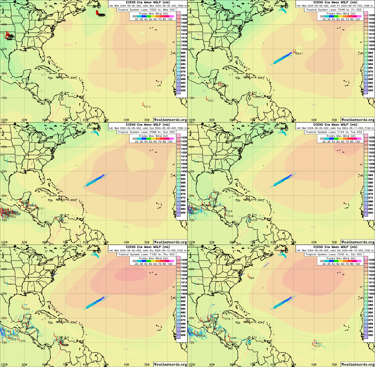
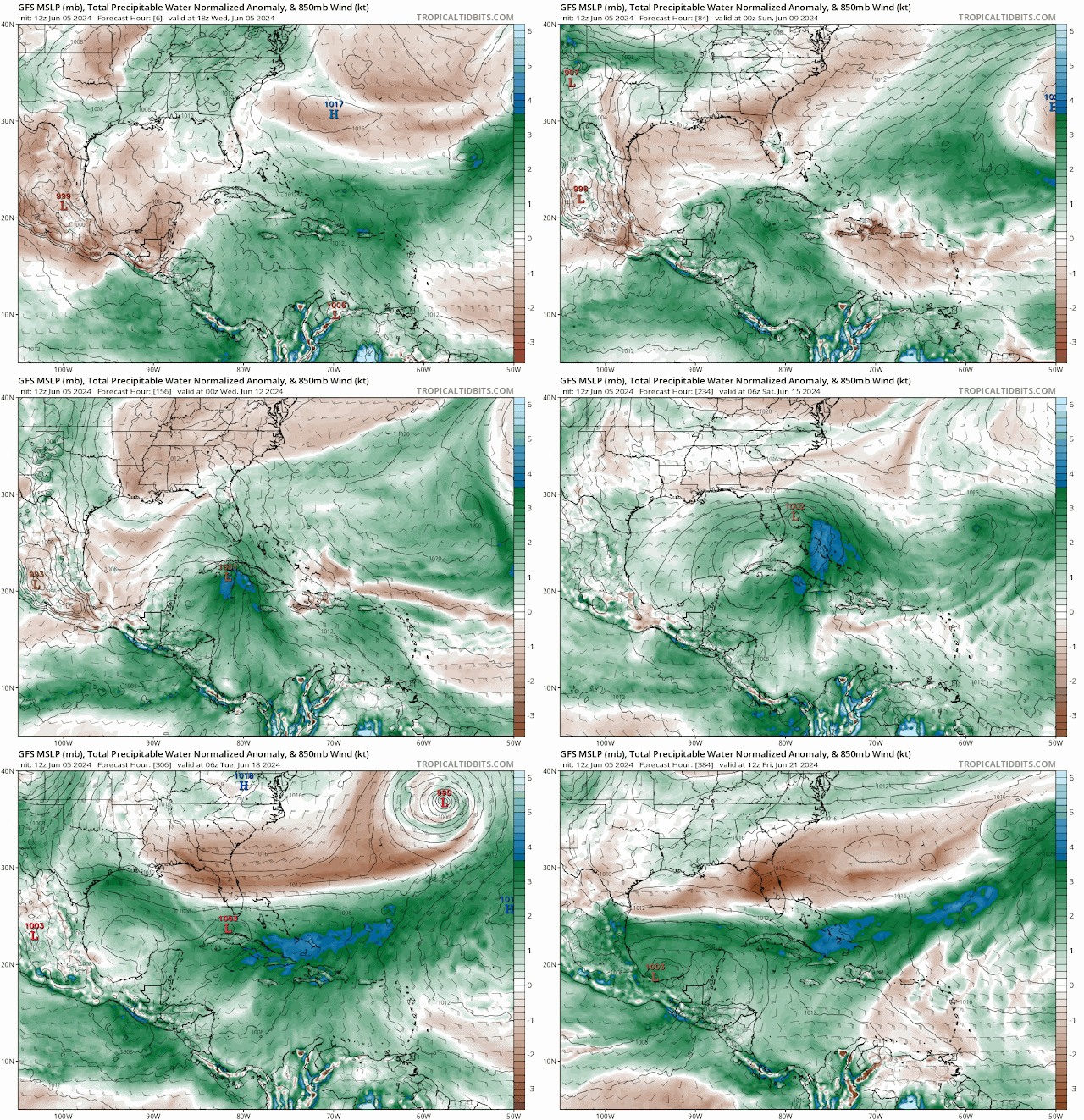
Some models are still hinting at development coming out of the northwest Caribbean. The GFS and the Canadian model are the only two models suggesting development. The Euro model has a trough digging southeast and only pulls moisture from the Caribbean northward over Cuba and Florida. Regardless of storm development or not, I do believe that we could see plenty of rain over Cuba and Florida that could produce some flooding concerns. However, since the Global Tropic Hazards Outlook forecast calls for a greater than 20% probability of storm development in the Bay of Campeche and the northwest Caribbean, I will monitor carefully because I don't like surprises.
Always be storm-ready!
I will be away Thursday through Sunday celebrating my 44th anniversary. I will try to do brief updates when possible. You all have a great rest of this week and weekend. Enjoy the dry weather because the rainy season may be close by.
Remember to always check with the National Hurricane Center for the latest on the tropics.
RTW
Greens rain and blues heavier rains
Seven day rainfall accumulation shows and abundance of rain over Cuba and Florida


.gif)


No comments:
Post a Comment
Note: Only a member of this blog may post a comment.