Saturday, October 14, 2017

TROPICAL OUTLOOK 1044 PM EDT 10/14/17

1.  ...EYE OF HURRICANE OPHELIA PASSING SOUTH OF THE AZORES... ...EXPECTED TO BECOME POST-TROPICAL LATE SUNDAY OR EARLY MONDAY...NHC

2.  A STRONG TROPICAL WAVE ASSOCIATED WITH A WEAK SURFACE LOW STILL HAS SOME POTENTIAL FOR TROPICAL CYCLONE FORMATION AS IT TRACKS NORTH AWAY FOR THE NORTHERN LEEWARD.   BERMUDA SHOULD CLOSELY MONITOR SINCE IT COULD COME CLOSE TO ISLANDS...RTW


TROPICAL WEATHER OUTLOOK 0320 AM EDT 10/14/17

1.  OPHELIA STILL HANGING ON TO CATEGORY TWO STATUS AND SHOULD PASS TO THE SOUTH OF THE AZORES ISLANDS SATURDAY NIGHT.

2. STORM INVESTIGATION 92L CONTINUES TRACKING TOWARD THE NORTHERN LEEWARD.  RAINS IN SQUALLS SHOULD AFFECT THE NORTHERN LEEWARD AS THE AXIS OF THIS WAVE MOVES ACROSS THE AREA SATURDAY.  THERE HAVE BEEN REPORTS OF GUST TO GALE FORCE IN SOME OF THE STRONGER STORM CELLS ASSOCIATED WITH THIS WAVE.
RTW


Friday, October 13, 2017

THIS MODEL SUGGESTING COLD AIR FOR THE EAST AND SOUTHEAST

THIS COLD AIR IS FORECAST FOR OCT 28, 2017


TROPICAL OUTLOOK 0336 PM EDT 10/13/17

1. I WILL POST OPHELIA TRACK MAP AS SOON AS IT IS READY AND WILL POST IT ON THE WEBSITE SITE.  JUST CLICK ON (RALPH'S STORM TRACK MAPS) AT TOP OF SITE WHERE NAVIGATION BUTTONS ARE LOCATED.  I ALREADY POSTED THE 18Z MODEL RUN THERE. 

2. AS FOR THE STRONG TROPICAL WAVE EAST OF THE LESSER ANTILLES THIS MAY BRING FAST MOVING SHOWERS AND STORMS IN SQUALLS AS THE WAVES AXIS MOVES OVER THE AREA THIS WEEKEND. 

UPPER LEVEL CONDITIONS ARE NOT FAVORABLE FOR DEVELOPMENT AT THIS TIME.  THERE SEEMS TO BE AN EXPOSED CIRCULATION WEST OF THE THUNDERSTORMS AND THAT MAY BE DUE TO THE FAST FORWARD SPEED THIS WAVE IS TRAVELING AT. 

THAT ALSO PRODUCES WIND SHEAR OVER THE LOW LEVEL CIRCULATION AND HINDERS DEVELOPMENT AT THIS TIME.  UPPER LEVEL WINDS COULD BECOME MORE FAVORABLE AS IT TRACKS NORTH AND AWAY FROM THE NORTHERN LEEWARD ISLANDS. 

SO FAR NONE OF THE MODELS ARE SUGGESTING A TRACK TOWARD THE WEST.  BERMUDA SHOULD MONITOR THIS SYSTEM BECAUSE IT COULD PASS CLOSE TO THAT ISLAND.
RTW


TROPICAL WEATHER OUTLOOK 1143 AM EDT OCT 13, 2017

1.  OPHELIA ON THE MOVE TOWARD THE EAST NORTHEAST.  IRELAND SHOULD CLOSELY MONITOR OPHELIA FUTURE TRACK.

2. A STRONG TROPICAL WAVE THAT I STARTED POSTING ON YESTERDAY IS NOW BEING MONITORED BY NHC AS WELL.  NHC IS GIVING THIS WAVE A LOW CHANCE WITHIN THE NEXT 48HRS AND A LOW 30% CHANCE WITHIN 5-DAYS.  I WILL KEEP A WATCH ON IT.

RTW


Thursday, October 12, 2017

MIAMI AND VICINITY 7-DAY FORECAST


Today 12, 2017

Day: Mostly cloudy with numerous showers. Highs around 85°F. Heat index around 91°F. Northeast wind 14 to 19 MPH, gusting to 26 MPH. Chance of precipitation 60 percent.


Night: Mostly cloudy with numerous showers. Lows around 79°F. East wind 8 to 18 MPH, gusting to 24 MPH. Chance of precipitation 60 percent.


Friday Oct 13

Day: Mostly cloudy with numerous showers. Highs around 86°F. Heat index around 95°F. East wind to 11 MPH. Chance of precipitation 60 percent.


Night: Mostly cloudy with scattered showers. Lows around 79°F. East southeast wind to 9 MPH. Chance of precipitation 50 percent.


Saturday Oct 14

Day: Mostly cloudy with scattered showers. Highs around 86°F. Heat index around 95°F. East wind 8 to 14 MPH. Chance of precipitation 50 percent.


Night: Mostly cloudy with scattered showers. Lows around 79°F. East wind to 11 MPH. Chance of precipitation 40 percent.


Sunday Oct 15

Day: Partly cloudy with scattered showers. Highs around 86°F. Heat index around 93°F. Southeast wind to 11 MPH. Chance of precipitation 50 percent.


Night: Partly cloudy with scattered showers. Lows around 78°F. East wind to 10 MPH. Chance of precipitation 50 percent.


Monday Oct 16

Day: Partly cloudy with scattered showers. Highs around 86°F. Heat index around 91°F. East northeast wind to 8 MPH. Chance of precipitation 30 percent.


Night: Partly cloudy with scattered showers. Lows around 78°F. East northeast wind to 7 MPH. Chance of precipitation 30 percent.


Tuesday Oct 17

Day: Partly cloudy with scattered showers. Highs around 86°F. Heat index around 91°F. East northeast wind to 9 MPH. Chance of precipitation 30 percent.


Night: Partly cloudy with scattered showers. Lows around 77°F. East northeast wind to 9 MPH. Chance of precipitation 30 percent.


Wednesday Oct 18

Day: Partly cloudy with scattered showers. Highs around 84°F. East northeast wind to 11 MPH. Chance of precipitation 40 percent.
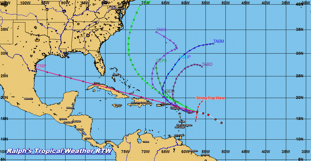
FORECAST MAPS AND LIVE RADAR ARE COURTESY OF N.W.S. IN MIAMI FL


Local Radar

TROPICAL WEATHER OUTLOOK 0330 PM EDT 10/12/17

1. OPHELIA HANGING IN THERE AND HAS BEEN MEANDERING  STUCK BETWEEN TWO HIGHS IN THE ATLANTIC AT THIS TIME.  OPHELIA IS FORECAST TO TRACK TOWARD THE NORTHEAST DURING THE NEXT FEW DAYS.

2. A STRONG TROPICAL WAVE NEAR 50° WEST IS PRODUCING STRONG STORMS ALONG THE WAVES AXIS.  I WILL CONTINUE TO MONITOR THIS SYSTEM DURING THE NEXT FEW DAYS.

RTW


Wednesday, October 11, 2017

TROPICAL WEATHER OUTLOOK 1134 AM EDT 10/11/17

1. TROPICAL STORM OPHELIA NEARING COULD BECOME A HURRICANE AT ANYTIME.  OPHELIA IS NOT A THREAT TO LAND AT THIS TIME.

2. A MID TO UPPER LEVER LOW NEAR 75°WEST IS PRODUCING SHOWERS AND THUNDERSTORMS OVER THE EASTERN BAHAMAS.  THIS LOW WILL CONTINUE ON A WESTERLY TRACK AND WILL BE OVER SOUTHERN FLORIDA ON THURSDAY. THIS WILL ENHANCE THE RAIN AND STORM CHANCE.  SQUALLY CONDITIONS, HEAVY RAINS AT TIMES AND LIGHTNING ARE POSSIBLE AS THIS SYSTEM MOVES OVER THE SOUTHERN PENINSULA.

ELSE WHERE IN THE TROPICS ALL REMAINS QUIET.


Monday, October 9, 2017

MIAMI AND VICNITY 7-DAY FORECAST


Today Oct 9, 2017

Day: Partly cloudy with isolated thunderstorms. Highs around 85°F. Heat index around 96°F. East wind 6 to 13 MPH. Chance of precipitation 30 percent.


Night: Partly cloudy with isolated thunderstorms. Lows around 81°F. Heat index around 89°F. East wind to 15 MPH. Chance of precipitation 20 percent.


Tuesday Oct 10

Day: Partly cloudy with scattered showers. Highs around 85°F. Heat index around 93°F. East wind to 15 MPH. Chance of precipitation 30 percent.


Night: Partly cloudy with isolated showers. Lows around 79°F. East wind to 14 MPH. Chance of precipitation 20 percent.


Wednesday Oct 11

Day: Partly cloudy with isolated showers. Highs around 85°F. Heat index around 92°F. East northeast wind to 14 MPH. Chance of precipitation 20 percent.


Night: Partly cloudy with isolated showers. Lows around 78°F. East northeast wind to 14 MPH. Chance of precipitation 20 percent.


Thursday Oct 12

Day: Partly cloudy with isolated showers. Highs around 85°F. Heat index around 90°F. Northeast wind 11 to 16 MPH. Chance of precipitation 20 percent.


Night: Partly cloudy with scattered showers. Lows around 77°F. Northeast wind to 16 MPH. Chance of precipitation 30 percent.


Friday Oct 13

Day: Partly cloudy with scattered showers. Highs around 85°F. Heat index around 91°F. North northeast wind to 14 MPH. Chance of precipitation 40 percent.


Night: Partly cloudy with scattered showers. Lows around 77°F. North northeast wind 8 to 13 MPH, gusting to 18 MPH. Chance of precipitation 40 percent.


Saturday Oct 14

Day: Partly cloudy with scattered showers. Highs around 85°F. Heat index around 93°F. North northeast wind to 8 MPH, gusting to 16 MPH. Chance of precipitation 50 percent.


Night: Partly cloudy with scattered thunderstorms. Lows around 78°F. Southeast wind to 9 MPH, gusting to 16 MPH. Chance of precipitation 50 percent.


Sunday Oct 15
Day: Partly cloudy with scattered thunderstorms. Highs around 85°F. Heat index around 93°F. South wind to 10 MPH, gusting to 15 MPH. Chance of precipitation 40 percent.

Local Radar