Severe weather will continued to spread east as this upper level trough tracks eastward. see the latest SPC maps below. Stay tuned to your local media and NWS office.
DAY-1 OUTLOOK
THUNDERSTORM OUTLOOK
DAY-2 OUTLOOK
GFS FORECAST MODEL
COLOR INFRARED SATELLITE
RADAR STILL SHOT
Thursday, April 18, 2019
Wednesday, April 17, 2019
DAY 1-3 SEVERE WEATHER OUTLOOK
A cut-off upper level trough of low pressure tracking east will bring enhanced chance for severe weather for a portion of Oklahoma, Kansas and Texas today.
DAY-2 OUTLOOK
Tomorrow the severe weather threat will spread east over Louisiana, Mississippi, Alabama and a portion of the western tip of the Florida Panhandle.
DAY-3 OUTLOOK
On Friday the severe weather threat will spread over a portion of Georgia and Florida north to the Carolinas and Virginia. Stay up to date on weather conditions and advisories in the days to come... RTW
Tuesday, April 16, 2019
SEVERE STORM DAY 2 AND 3 OUTLOOK
Another storm system will enhance severe weather across Oklahoma, Texas, Louisiana and Mississippi in the coming days.
Monday, April 8, 2019
ENHANCED RISK FOR SEVERE WEATHER THIS EVENING AND MARGINAL RISK FOR TUESDAY
There is an enhanced risk for severe weather this evening for the North Carolina and Virginia.
There is a marginal risk for severe weather for a portion of Florida, Georgia, Carolina and a slight risk for a portion of Georgia south Carolina and north Carolina on Tuesday.
Heavy rain, Gusty winds, hail, frequent lightning and the possibilty of a tornadoes...RTW
There is a marginal risk for severe weather for a portion of Florida, Georgia, Carolina and a slight risk for a portion of Georgia south Carolina and north Carolina on Tuesday.
Heavy rain, Gusty winds, hail, frequent lightning and the possibilty of a tornadoes...RTW
SLIGHT RISK FOR SEVERE WEATHER TODAY
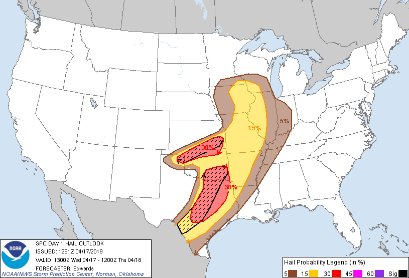
Strong weather system tracking east is producing a strong to severe line with embedded hail, Gusty winds, frequent lightning and possible tornado.
This system will be affecting northeast Mississippi the Carolinas, southeast Virginia this evening.
The tail end of this systems will drag a squall line early today affecting the Florida Panhandle and Alabama and Georgia.
This line is producing allot of lightning as it moves over the northeast Gulf waters.
Subscribe to:
Posts (Atom)