Strong storms off the coast of Africa along the monsoon trough between 30 and 20 degrees west and south of the 10 latitude line. this could be associated with a tropical wave but its not yet seems on the surface analysis map.
Another wave nearing 50 degrees west latitude has strong to moderate showers and storms west of the waves axis. There are no signs of organization at this time. if these showers and storms hold together as it passes over the Lesser Antilles it will bring squally showers and storms to the islands.
Another wave passing over Puerto Rico is lacking storm activity.
A tropical wave passing over Jamaica, has some storms with lightning north of the island.
NHC is monitoring the north central Atlantic for development in the near future. This system if it develops would be a sub-tropical or tropical in nature, and will not be a threat to the eastern Sea board. See below NHC map and discussion text.
RTW
ZCZC MIATWOAT ALL
TTAA00 KNHC DDHHMM

Tropical Weather Outlook
NWS National Hurricane Center Miami FL
800 AM EDT Mon Jul 10 2023

For the North Atlantic...Caribbean Sea and the Gulf of Mexico:

1. Central Atlantic:
An area of low pressure is expected to form in a day or so several
hundred miles to the east-northeast of Bermuda. This system is
expected to interact with an upper-level trough, and could acquire
some subtropical or tropical characteristics during the middle to
latter part of this week while it moves generally eastward. By the
weekend, the low should turn northward bringing the system over
cooler waters, likely limiting additional development.
* Formation chance through 48 hours...low...near 0 percent.
* Formation chance through 7 days...low...30 percent.

Forecaster Cangialosi/Kelly
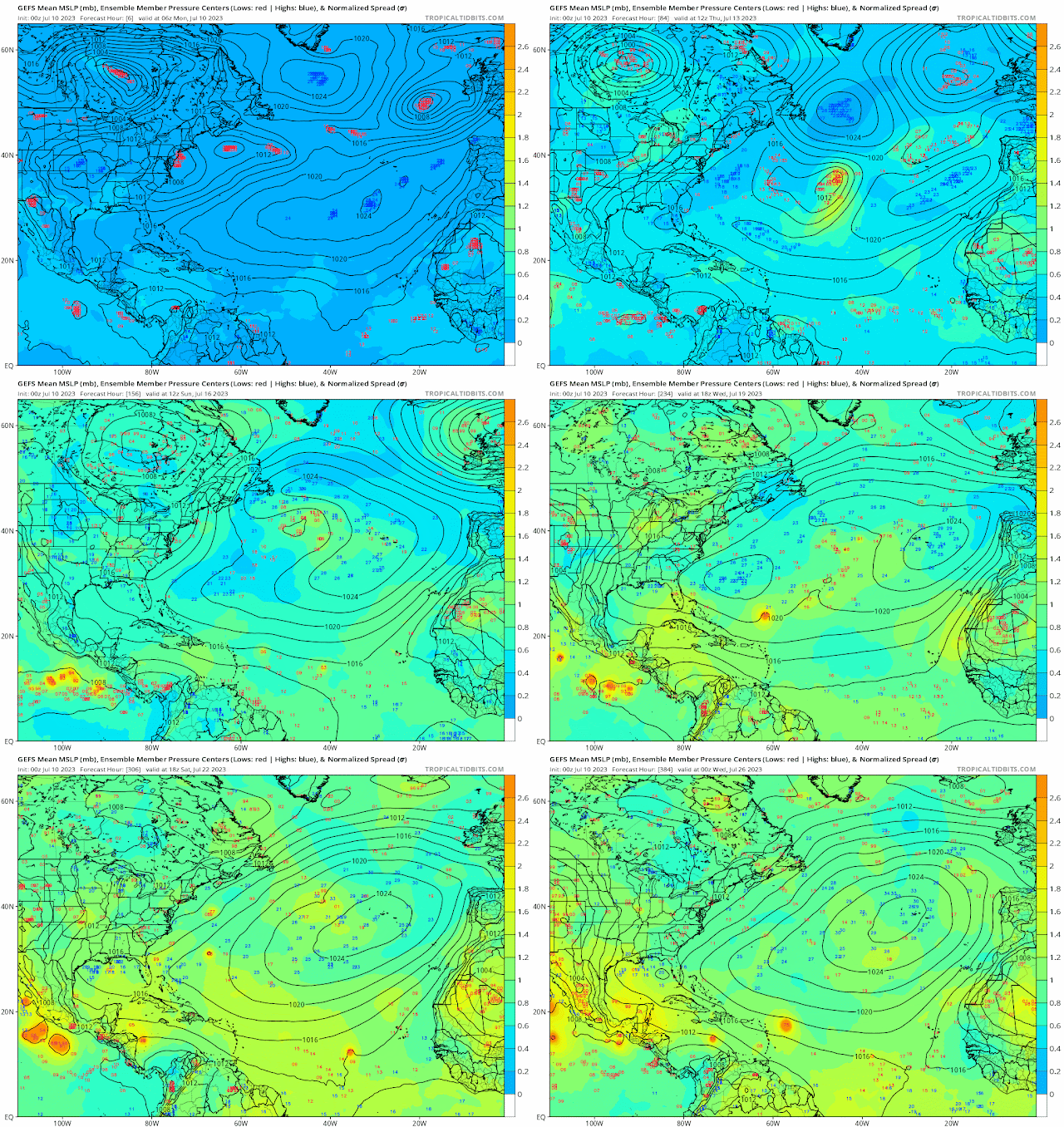
Ensemble models are still showing possible development but once again its in the long range and there will could be errors in the forecast. So we continue to monitor!
RTW


.gif)
.gif)


No comments:
Post a Comment
Note: Only a member of this blog may post a comment.