Good afternoon to all!
Well, we are finally going to feel colder temperatures Friday through Monday. Well deserved, being that this summer was brutal.
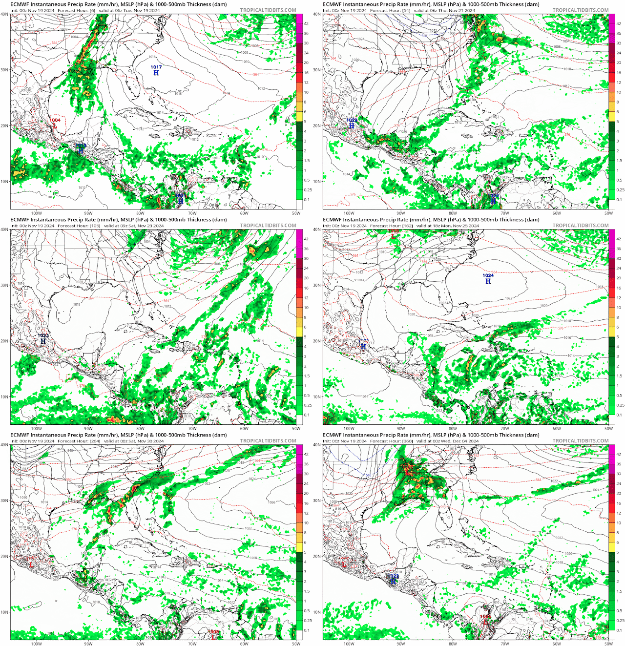
There will be a chance for isolated showers and thunderstorms as the front passes through Wednesday into Thursday morning. You can't rule out one of those storms being strong; however, nothing severe is expected as SPC has a general thunderstorm risk for the state of Florida.
The strongest of the weather today will be from Louisiana, Mississippi, Alabama, and the Florida Panhandle.
Most of the models show that convective activity in the northern Gulf will be losing its energy as it approaches the Florida west coast. This enhancement of thunderstorms comes from Sara's left-over energy.


No comments:
Post a Comment
Note: Only a member of this blog may post a comment.