
NO ORGANIZED SEVERE STORMS EXPECTED DAYS 1-3 ACCORDING TO THE


DAYS 1-3 NOTHING SIGNIFICANT STORM WISE BUT THERE IS A CHANCE FOR THUNDERSTORMS. MARGINAL RISK FOR A SMALL AREA. STAY UP TO DATE WITH STORM PREDICTION CENTER SEVERE WEATHER OUTLOOKS.
MARGINAL RISK: ...Tallahassee, FL...Panama City, FL...Fort Walton Beach, FL...Lynn Haven, FL...Callaway, FL...


THUNDERSTORM OUTLOOK FOR TODAY:


WEATHER PREDICTION CENTER EXCESSIVE RAINFALL OUTLOOK
MARGINAL RISK


DAY 2 SHOWS A MARGINAL RISK FOR SEVERE STORMS AND A 2% FOR ISOLATED TORNADO. NOTHING SIGNIFICANT BUT YOU NEED TO BE AWARE THAT STORMS COULD PRODUCE A QUICK SPIN UP OF A LOWER LEVEL ISOLATED TORNADO.
HERE ARE THE AREAS THAT COULD BE AFFECTED BY STRONG TO SEVERE STORMS OR TORNADO.
New Orleans, LA...Mobile, AL...Tallahassee, FL...Metairie, LA...Gulfport, MS...

TORNADO PROBABILITY 2% CHANCE THAT A TORNADO WILL SPIN UP.
AREAS THAT COULD EXPERIENCE A TORNADO.
Mobile, AL...Tallahassee, FL...Gulfport, MS...Dothan, AL...Pensacola, FL...

HAIL PROBABILITY 5% CHANCE OF HAIL.
AREAS THAT COULD EXPERIENCE A HAIL.
New Orleans, LA...Mobile, AL...Tallahassee, FL...Metairie, LA...Gulfport, MS...

DAY 3 A CHANCE FOR THUNDERSTORM LESS THAN 5%


ICY CONDTIONS PERSIST FOR TEXAS TODAY AND TOMORROW EASING OFF BY WEDNESDAY. RADAR SHOWS PERSISTENT RAIN TURNING TO ICE OVER TEXAS ARKANSAS AND NORTHERN LOUISIANA AND NORTHWEST MISSISSIPPI. SNOW FOR SOUTHERN OKLAHOMA AND CENTRAL ARKANSAS.
RTW

POWER OUTAGE MAP SHOWS 100K+ OUTAGE FOR TEXAS. CLICK HERE FOR THE LATEST UPDATES TO THIS REAL TIME MAP.


DAYS 2 EXCESSIVE RAINFALL OUTLOOK SLIGHT RISK FOR HEAVY RAINFALL AND FLOODING!


SEVERE STORM OUTLOOK, PER STORM PREDICTION CENTER
DAY 1

DAY 2

DAY 3 A (MARGINAL RISK) FOR SEVERE STORMS
AREAS THAT COULD BE AFFECTED BY SEVERE STORMS:
...New Orleans, LA...Baton Rouge, LA...Mobile, AL...Tallahassee, FL...Metairie, LA...


DAY 2-3 EXCESSIVE RAINFALL OUTLOOK


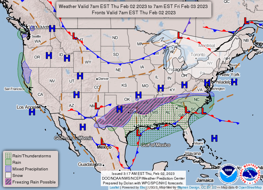
NATIONAL FORECAST CHARTS

MESO DISCUSSION

Mesoscale Discussion 0118
   NWS Storm Prediction Center Norman OK
   0718 AM CST Tue Jan 31 2023

   Areas affected...southeastern Oklahoma and adjacent west-central and
   southwestern Arkansas...and southward to central Texas

   Concerning...Freezing rain

   Valid 311318Z - 311715Z

   SUMMARY...Freezing rain, falling at rates in excess of 0.05" per
   hour, can be expected this morning from central Texas northeastward
   across southeastern Oklahoma and adjacent portions of Arkansas.

   DISCUSSION...Latest surface analysis shows the cold front now over
   the western Gulf of Mexico, having cleared even deep South Texas.
   As a result, temperatures across much of the state -- with the
   exception of the Coastal Plain -- are near or below freezing.

   As the western U.S upper system (low centered over far northern Baja
   at this time) advances slowly eastward, a broad/leading plume of
   ascent -- evident in water vapor imagery across northern Mexico and
   the southern Plains, and arcing anticyclonically eastward across the
   Southeast -- is contributing to the development of convective
   precipitation across parts of central and northern Texas.

   This evolution is fairly well-handled by current CAM runs, which
   suggest the convection will continue to increase in coverage, and
   spread northeastward across southeastern Oklahoma with time, and
   eventually into parts of western Arkansas through late
   morning/midday.

   Morning RAOBs, and model point forecast soundings, reveal warm air
   aloft and weak instability, atop the sub-freezing boundary layer.
   This suggests potential for freezing rain, with rates in excess of
   0.05" per hour, including substantially greater rates over short
   intervals locally, as convective cells shift quickly northeastward.
   Freezing rain is being observed at this time across central and
   northern Texas with this developing precipitation, though parts of
   western North Texas and into south-central Oklahoma may also
   experience sleet, given the increasingly deep surface-based layer of
   sub-freezing air with northward extent.

   ..Goss.. 01/31/2023

MONITORING ICE STORM POTENTIAL COMING DAYS AFFECTING A LARGE PORTION OF TEXAS AND OKLAHOMA EAST-NORTHEAST TO VIRGINA. STAY TUNED TO LOCAL MEDIA AND NATIONAL WEATHER SERVICE FOR UPDATES.
RTW


