
Storm Investigation 96L
Aug 3, 2019...1201 AM EDT
Ralph's Tropical Weather
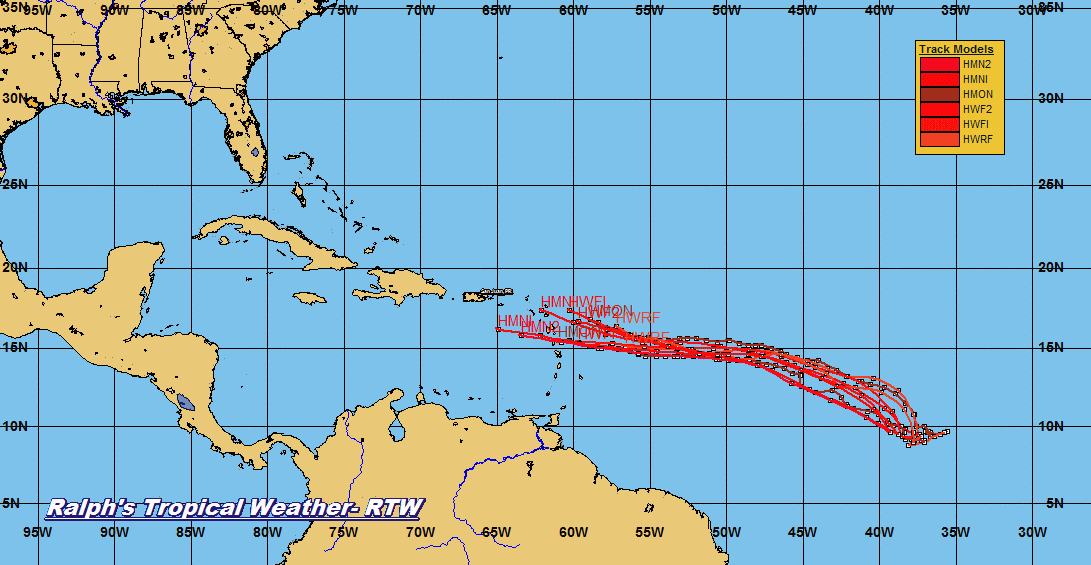
Models are once again insisting that 96L may develop into a depression beginning of next week. Upper level conditions will be somewhat unfavorable but intensity models are suggesting tropical cyclone formation. 96L seems to have new burst of thunderstorms and clouds are beginning to build 96L is trying to organize.
As for the latest guidance models they are spread out not as cluster as past model run. Weak systems like this are difficult to pin point and models usually tend to be all over the place. Also weak systems will track west or west-northwest with no northward pull from troughs.
So far the track is west-northwest with some models turning north and east into a weakness in the high pressure ridge. All this is speculation at this time and highly uncertain if this system will develop to a tropical cyclone and where it may end up.
RTW


No comments:
Post a Comment
Note: Only a member of this blog may post a comment.