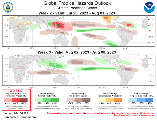
A westward tracking tropical wave off the coast of Africa near 20 degrees west is moving over the African monsoon trough. This moist trough is helping to enhance storms over this area and along the waves axis. We be monitoring this wave for possible development into next week.
A westward tracking tropical wave is moving over the inter-tropical convergence zone and this is enhancing rain and storm south of the 10 degree longitude line.
A westward tracking tropical wave known as Invest 95L is still passing over the Lesser Antilles and is producing shower and storms in squalls as it continues westward. The northern axis of this wave will bring the showers and storms across Puerto Rico and Dominican tonight and tomorrow if this activity holds together. Invest 95L/ tropical Wave is moving into unfavorable upper level winds in the Caribbean.
Upper level winds Red unfavorable, Green favorable areas.
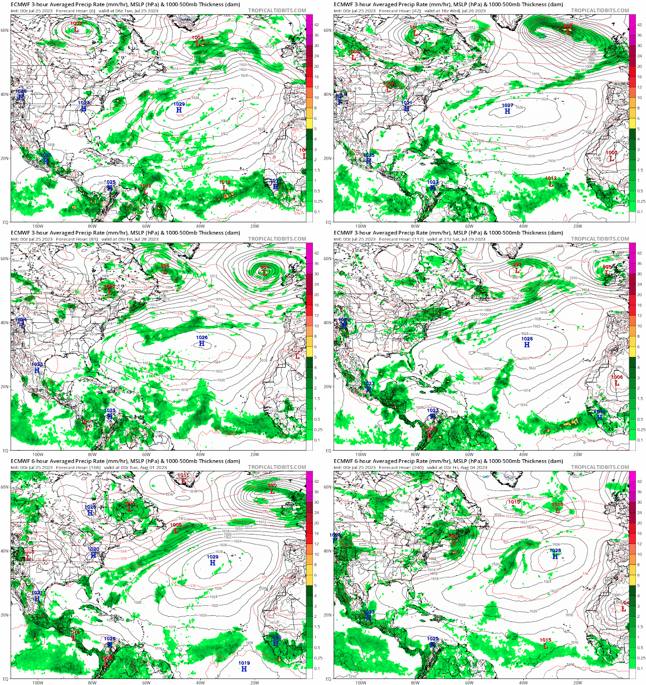
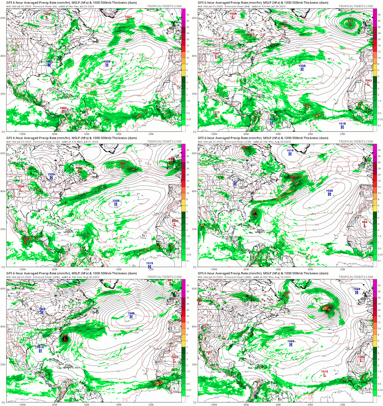
A surface trough of low pressure southeast of Bermuda has not changed much since yesterday. However, showers a storms are still associated with this trough and some of the models show the precipitation from this system moving over Florida by Friday and the weekend. Some of the showers could be heavy at time with gusty winds and lightning. You can't rule out a strong to may be severe thunderstorm in stronger cells.
RTW
ZCZC MIATWOAT ALL
TTAA00 KNHC DDHHMM

Tropical Weather Outlook
NWS National Hurricane Center Miami FL
200 PM EDT Tue Jul 25 2023

For the North Atlantic...Caribbean Sea and the Gulf of Mexico:

1. Southeastern Caribbean Sea (AL95):
A tropical wave over the southeastern Caribbean Sea is producing a
large area of disorganized showers and thunderstorms, with some
locally heavy rains over portions of the adjacent land areas.
Development of this system is not expected while it continues to
move rapidly westward over the Caribbean during the next few days.
* Formation chance through 48 hours...low...10 percent.
* Formation chance through 7 days...low...10 percent.

2. Southwestern Atlantic:
A weak trough of low pressure is located a few hundred miles
south-southwest of Bermuda.  Significant development of this
system appears unlikely while it moves move west-northwestward
toward the southeastern U.S. coast over the next several days.
* Formation chance through 48 hours...low...near 0 percent.
* Formation chance through 7 days...low...10 percent.

3. Eastern Atlantic:
A tropical wave is located south of the Cabo Verde Islands.  Some
development of this system is possible later this week and into the
weekend while it moves westward to west-northwestward over the
tropical Atlantic.
* Formation chance through 48 hours...low...near 0 percent.
* Formation chance through 7 days...low...20 percent.

Forecaster Pasch
Excessive Rainfall Outlook Days 1-5 (Marginal)


.gif)

.gif)


.png)


No comments:
Post a Comment
Note: Only a member of this blog may post a comment.