A tropical wave between 30-35 degree west latitude is still being monitored for development. This wave is moving through dry air and marginal upper level conditions. This wave has a better chance for development as it passes to the northeast of the northern Leeward Islands.
NHC is giving this wave a Low 0% formation chance within the next 48 hours and a med 40% formation chance within 7 days.
The surface trough off the Florida east coast is stuck between two upper level lows, one in the Gulf and the 2nd east of the Bahamas. This trough has been producing strong storms over Marsh Harbor and the Abacco Island.
As this trough tracks slowly over the Southeast Florida coast we could see some showers and storms later this afternoon.
Quantitative Precipitation Outlook
Excessive Rainfall Outlook
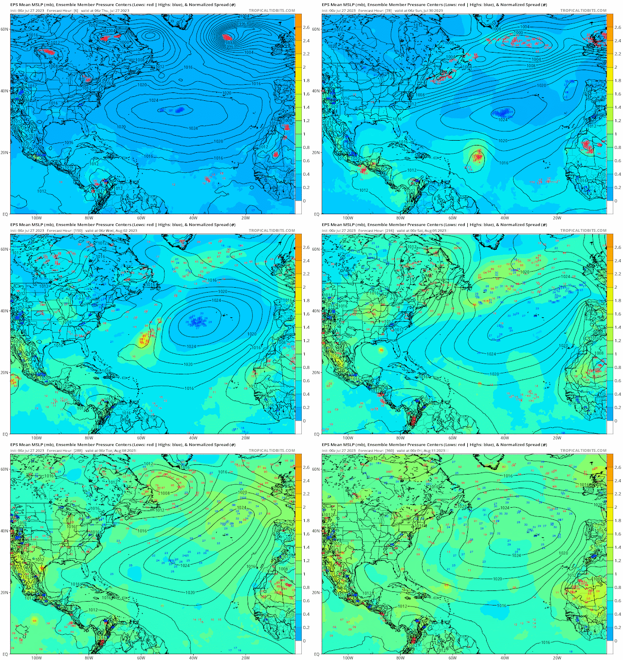
Ensemble models


.gif)


No comments:
Post a Comment
Note: Only a member of this blog may post a comment.